The Roopkund Trek is one of the most fascinating high-altitude treks in Uttarakhand, India. Located in the Garhwal Himalayas, the trek is known for its dramatic mountain landscapes, alpine meadows, dense forests, challenging trails, and the mysterious Roopkund Lake, often called the “Skeleton Lake.”
Surrounded by some of the most spectacular Himalayan peaks, Roopkund offers a combination of adventure, natural beauty, and fascinating history. The trail passes through remote villages, oak and rhododendron forests, open meadows, and high-altitude terrain before reaching the region of Roopkund.
This Roopkund Trek Complete Guide 2026 covers everything you need to know before planning the trek, including the route, altitude, difficulty level, best time to visit, itinerary, weather, packing list, safety tips, and preparation advice.
What Is the Roopkund Trek?
The Roopkund Trek is a high-altitude Himalayan trek in the Chamoli district of Uttarakhand. The trek traditionally starts from the Lohajung region and passes through beautiful locations such as Didna Village, Bedni Bugyal, Ali Bedni Bugyal, and Bhagwabasa before reaching the higher reaches near Roopkund.
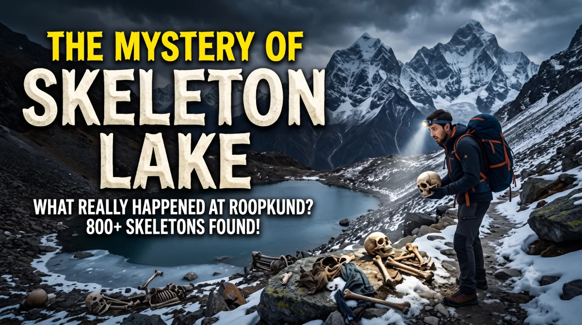
The trek is particularly famous for the human skeletal remains historically discovered around Roopkund Lake. While the lake and its surroundings are associated with several theories and scientific studies, the area is primarily valued today for its Himalayan scenery and trekking landscape.
The trail offers views of magnificent peaks and expansive alpine meadows, making it an attractive destination for experienced trekkers and adventure enthusiasts.
Roopkund Trek Highlights
Some of the major highlights of the trek include:
- Beautiful Bedni Bugyal and Ali Bedni Bugyal
- High-altitude Himalayan landscapes
- Dense oak and rhododendron forests
- Traditional Himalayan villages
- Panoramic views of snow-covered peaks
- Challenging high-altitude trails
- The mysterious Roopkund Lake
- Sunrise and sunset views from alpine meadows
- Unique Himalayan flora and landscapes
- A combination of moderate and strenuous trekking sections
Roopkund Trek Location
Roopkund is situated in the Chamoli district of Uttarakhand in the Indian Himalayas.
The traditional trekking route begins around Lohajung, which serves as an important base for the trek. From here, trekkers move through villages and forests before entering the expansive alpine meadows of Bedni Bugyal and eventually reaching higher-altitude terrain.
Because the trek enters a remote Himalayan environment, proper preparation is essential.
Roopkund Trek Altitude
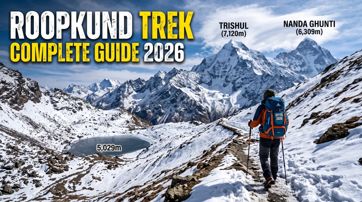
Roopkund is located at an altitude of approximately 5,000 metres above sea level.
The substantial elevation gain is one of the main reasons why the trek requires good physical preparation. Trekkers need to be prepared for thinner air, colder temperatures, steep ascents, and rapidly changing mountain weather.
Altitude-related problems can affect even physically fit trekkers, so gradual acclimatization and responsible trekking practices are important.
Roopkund Trek Difficulty Level
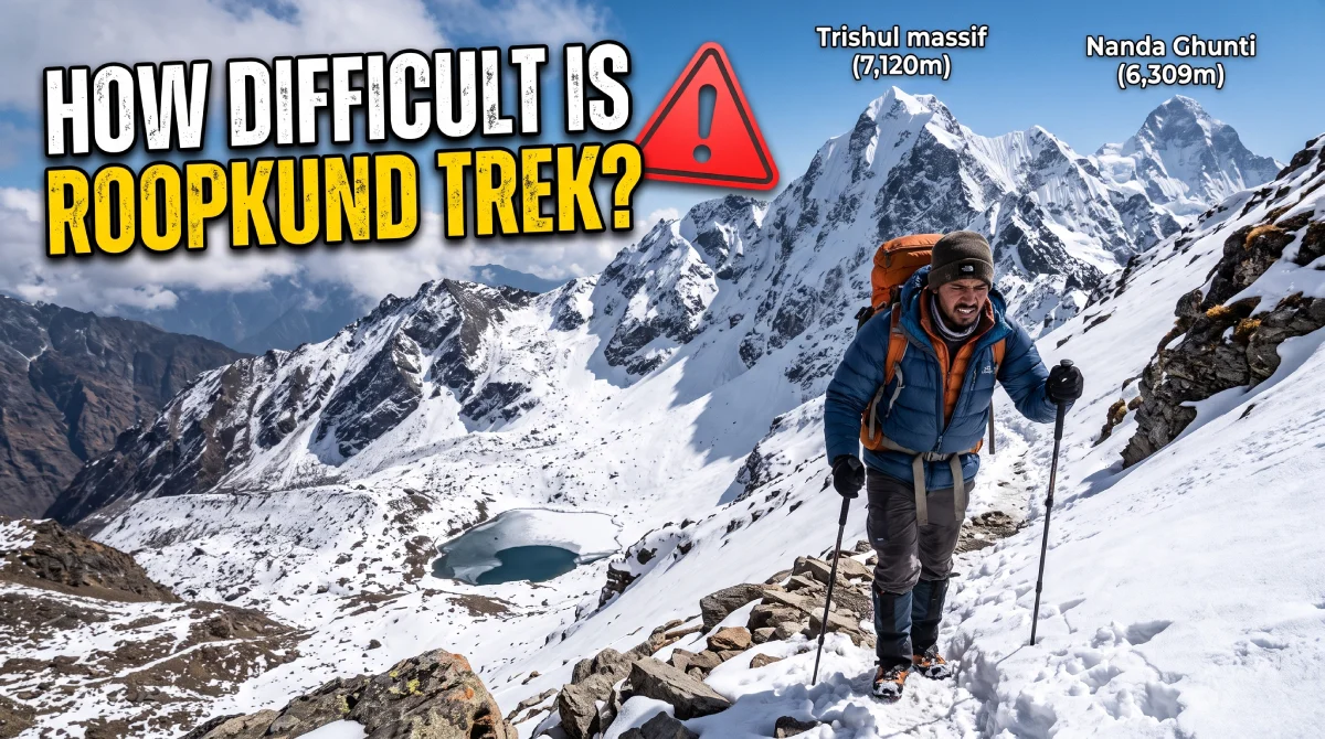
The Roopkund Trek is generally considered a difficult high-altitude trek.
The difficulty comes from several factors:
- Significant altitude gain
- Long trekking days
- Steep ascents and descents
- Rocky and uneven terrain
- Cold weather at higher elevations
- Possible snow on higher sections
- Changing weather conditions
- Reduced oxygen availability at altitude
A reasonable level of cardiovascular fitness, leg strength, endurance, and previous trekking experience can be extremely helpful.
Beginners should not treat Roopkund as a casual hiking destination. Adequate physical preparation and guidance are particularly important for high-altitude sections.
Roopkund Trek Route
The traditional Roopkund Trek route generally follows this progression:
Lohajung → Didna Village → Bedni Bugyal → Bhagwabasa → Roopkund → return towards Lohajung
The exact route and camping points can vary depending on local conditions, weather, permissions, and trekking regulations.
Lohajung
Lohajung is traditionally regarded as the starting point for the trek. It is a mountain settlement and an important staging point where trekkers prepare for the journey ahead.
Didna Village
The route from Lohajung towards Didna introduces trekkers to the Himalayan landscape. Forest trails, mountain views, and traditional village surroundings make this part of the journey particularly scenic.
Bedni Bugyal
Bedni Bugyal is one of the most famous alpine meadows in Uttarakhand.
The vast open grassland surrounded by Himalayan peaks is one of the major attractions of the Roopkund region. Depending on the season, the landscape can appear dramatically different, from lush green meadows to snow-covered terrain.
Ali Bedni Bugyal
Ali Bedni Bugyal is another spectacular meadow area along the traditional trekking route.
The wide-open landscape provides impressive views of the surrounding Himalayan ranges and is often considered one of the visual highlights of the trek.
Bhagwabasa
Bhagwabasa lies at a considerably higher altitude and represents one of the more challenging parts of the traditional route.
The landscape becomes increasingly rugged as trekkers move away from the meadows toward the higher mountain terrain.
Roopkund
Roopkund Lake is the destination associated with the trek.
The lake is surrounded by rugged Himalayan terrain and has long attracted attention because of skeletal remains discovered in the area. Its remote location, high altitude, and surrounding mountains contribute to the unique character of the trek.
Roopkund Trek Itinerary
The itinerary can vary according to route conditions and local regulations, but a traditional multi-day trek may broadly follow this structure:
Day 1: Arrival at Lohajung
Reach Lohajung and use the day to prepare for the trek. Acclimatization and equipment checks are important before beginning the hike.
Day 2: Lohajung to Didna Village
Begin trekking through forested mountain trails toward Didna Village. The route introduces trekkers to the natural environment and Himalayan village landscape.
Day 3: Didna to Bedni Bugyal
Continue toward the famous alpine meadows. The landscape gradually opens up as the trail reaches higher elevations.
Day 4: Bedni Bugyal and Ali Bedni Bugyal
Spend time exploring the meadow region and experiencing the Himalayan views. Depending on the itinerary, this can also serve as an important acclimatization period.
Day 5: Bedni Bugyal to Bhagwabasa
The trail becomes more challenging as the altitude increases. Trekkers should maintain a comfortable pace and remain alert for symptoms of altitude sickness.
Day 6: Bhagwabasa and the Roopkund Region
The higher-altitude section traditionally leads toward Roopkund. Weather and trail conditions can significantly influence this portion of the trek.
Day 7: Return Journey
Begin descending toward lower elevations. The return journey can be physically demanding because of accumulated fatigue, so careful movement remains important.
The exact number of days can differ depending on the itinerary, route conditions, acclimatization requirements, and local trekking restrictions.
Best Time for Roopkund Trek
The best season for trekking in the Roopkund region depends on the route conditions and applicable local regulations.
Historically, the trekking season has been associated primarily with the warmer months when snow conditions become more manageable.
Summer
Summer can bring clearer access to many lower-altitude sections and greener landscapes. Alpine meadows can be particularly attractive during the warmer part of the season.
Monsoon
Monsoon brings substantial rainfall to Uttarakhand. Trails can become slippery, muddy, and difficult, while landslides and road disruptions can affect access to mountain areas.
Trekking during this period requires careful consideration of weather and local conditions.
Autumn
The post-monsoon period is often associated with clearer mountain views and crisp Himalayan weather. The landscape can look dramatically different as temperatures begin to fall.
Winter
Winter brings snow and severe cold to higher elevations. Conditions around the high-altitude sections can become considerably more demanding.
Before planning a 2026 trek, always confirm the current route status, access restrictions, and local regulations because conditions in the Himalayas can change.
Roopkund Trek Weather
Weather in the Roopkund region can change quickly.
At lower elevations, daytime conditions can be comparatively comfortable during suitable trekking seasons. However, temperatures drop significantly as the trail gains altitude.
Higher sections can experience:
- Strong winds
- Freezing temperatures
- Snowfall
- Fog
- Sudden weather changes
- Reduced visibility
Trekkers should carry appropriate layers and be prepared for conditions that may differ considerably from the weather at the starting point.
Roopkund Trek Temperature
Temperatures vary significantly depending on altitude and season.
During trekking seasons, lower sections may experience relatively mild daytime conditions, while nights can become cold. At higher elevations, temperatures can fall considerably, particularly after sunset and before sunrise.
Instead of relying only on a fixed temperature forecast, trekkers should prepare for a broad range of conditions and carry suitable thermal and waterproof layers.
How to Prepare for the Roopkund Trek
Physical preparation is one of the most important parts of planning a high-altitude trek.
Improve Cardiovascular Fitness
Activities such as:
- Walking
- Jogging
- Cycling
- Swimming
- Stair climbing
can help improve endurance.
Build Leg Strength
Include exercises such as:
- Squats
- Lunges
- Step-ups
- Calf raises
- Stair climbing
Strong legs can make long ascents and descents more manageable.
Practice With a Backpack
Before the trek, take regular hikes while carrying a backpack similar to what you expect to use on the trail.
This helps your body adjust to walking with additional weight.
Train Gradually
Avoid trying to complete intense workouts immediately before the trek. Build your endurance progressively over several weeks.
Roopkund Trek Packing List
Packing appropriately is essential for a high-altitude Himalayan trek.
Clothing
Carry:
- Moisture-wicking base layers
- Warm mid-layers
- Insulated jacket
- Waterproof jacket
- Trekking trousers
- Thermal wear
- Woollen socks
- Gloves
- Warm cap
- Sun hat
Trekking Equipment
Useful equipment includes:
- Sturdy trekking shoes
- Backpack
- Rain cover
- Headlamp
- Trekking poles
- Water bottles
- Sunglasses
- Sunscreen
- Personal first-aid supplies
- Personal medications
Personal Essentials
Also consider carrying:
- Identification documents
- Power bank
- Personal hygiene products
- Lip balm
- Small towel
- Reusable waste bags
- Basic toiletries
Pack as lightly as practical while ensuring that essential safety and weather protection equipment is not omitted.
Altitude Sickness on the Roopkund Trek
Altitude sickness is an important consideration because Roopkund is located at a high elevation.
Common symptoms can include:
- Headache
- Nausea
- Dizziness
- Fatigue
- Loss of appetite
- Shortness of breath
More serious symptoms can develop at high altitude and require immediate medical attention.
The safest approach is to take altitude symptoms seriously, avoid rushing higher when feeling unwell, and descend when symptoms indicate that descent is necessary.
Do not assume that physical fitness completely protects you from altitude-related illness.
Roopkund Trek Safety Tips
Follow these basic safety practices:
- Acclimatize properly before ascending to higher elevations.
- Maintain a steady pace rather than rushing.
- Stay hydrated throughout the trek.
- Keep warm and dry, especially at higher altitudes.
- Check weather conditions before starting each trekking day.
- Follow local instructions and trekking regulations.
- Stay with your group on remote sections.
- Avoid unnecessary risks near steep or exposed terrain.
- Carry essential medicines and first-aid supplies.
- Respect altitude symptoms and descend when necessary.
Permits and Trekking Regulations
Trekking regulations in Uttarakhand can change over time. Access to sensitive Himalayan areas may be subject to permits, registration requirements, environmental rules, forest regulations, or restrictions imposed by local authorities.
For a Roopkund Trek in 2026, travelers should confirm the latest requirements with the relevant local authorities, forest department, or authorized trekking operators before starting the journey.
Do not rely solely on information from older trekking itineraries.
How to Reach Lohajung
Lohajung is the traditional gateway for the Roopkund Trek.
Travelers generally first make their way toward the Kumaon/Garhwal Himalayan region through major transportation hubs in Uttarakhand and then continue by road toward Lohajung.
Road travel in the mountains can take considerably longer than the same distance on flat terrain. Road conditions, weather, traffic, and seasonal disruptions can all affect travel time.
It is therefore advisable to keep sufficient flexibility in your travel schedule.
Mobile Network and Connectivity
Mobile connectivity can be limited or unavailable on several sections of the trek.
Do not depend entirely on a mobile phone for navigation, communication, or emergency situations.
Before leaving the connected areas:
- Inform someone about your trekking plan.
- Keep important contact information available offline.
- Carry a power bank.
- Follow the communication arrangements provided by your trekking team.
- Download necessary maps or information in advance.
Food and Water During the Trek
Food options become increasingly limited as you move deeper into remote mountain terrain.
Trekkers should follow the arrangements provided by their trekking team or local support staff and carry suitable snacks for additional energy.
For water, use reliable sources and follow appropriate purification practices when required.
Avoid leaving plastic packaging, food waste, or other litter along the trail.
Responsible Trekking in the Roopkund Region
The Himalayas are environmentally sensitive ecosystems.
Responsible trekking helps protect these landscapes for future generations.
Follow the principles of responsible travel:
- Carry your waste back.
- Avoid single-use plastic wherever practical.
- Do not disturb wildlife.
- Avoid damaging vegetation.
- Stay on established trails where required.
- Respect local communities.
- Do not remove natural or historical objects.
- Follow camping and waste-management regulations.
- Use designated facilities whenever available.
The goal should be to experience the Himalayas without negatively affecting the environment.
Why Is Roopkund Called Skeleton Lake?
Roopkund became famous because human skeletal remains were discovered around the lake.
The discovery generated numerous theories about how the people died. Scientific research has provided evidence that the remains represent multiple individuals and that the story is more complex than many traditional legends suggest.
The subject remains an important part of the history and scientific interest surrounding Roopkund.
Trekkers should treat the site respectfully and avoid disturbing any archaeological or human remains.
Who Should Do the Roopkund Trek?
Roopkund is more suitable for people who are prepared for challenging high-altitude trekking.
It may be appropriate for:
- Experienced trekkers
- Physically fit adventure travelers
- People comfortable with long hiking days
- Trekkers with previous Himalayan experience
People with limited trekking experience should prepare carefully and consider undertaking progressively challenging treks before attempting a high-altitude route of this nature.
Is Roopkund Trek Suitable for Beginners?
The Roopkund Trek should not be approached as an easy beginner hike.
The altitude, weather, trail conditions, and physical demands make preparation important. Beginners who are determined to undertake the trek should focus on fitness training, altitude awareness, proper equipment, and professional guidance where appropriate.
Current route accessibility and regulations should also be confirmed before planning.
Roopkund Trek Photography Tips
The trail provides numerous opportunities for landscape photography.
Some of the best subjects include:
- Himalayan peaks
- Alpine meadows
- Forest trails
- Mountain villages
- Sunrise and sunset landscapes
- Snow-covered terrain
- Wildflowers during suitable seasons
- Clouds and changing mountain weather
Carry protective equipment for your camera or phone because rain, snow, dust, and cold can affect electronic devices.
Things to Keep in Mind Before the Trek
Before beginning your Roopkund adventure, remember:
- Start physical preparation well in advance.
- Check the latest trekking regulations.
- Confirm whether the intended route is currently accessible.
- Check the weather forecast.
- Carry proper cold-weather clothing.
- Use suitable trekking footwear.
- Do not underestimate altitude.
- Keep your backpack as light as practical.
- Follow the instructions of local authorities and trekking professionals.
- Respect the environment and local communities.
Frequently Asked Questions About Roopkund Trek
Where is Roopkund Lake located?
Roopkund Lake is located in the Chamoli region of Uttarakhand in the Indian Himalayas.
What is the altitude of Roopkund?
Roopkund is situated at approximately 5,000 metres above sea level.
How difficult is the Roopkund Trek?
The trek is generally considered a difficult high-altitude trek because of its elevation, steep sections, weather, and demanding terrain.
What is the best time for the Roopkund Trek?
The suitable trekking season depends on snow, weather, trail conditions, and current local regulations. Always verify the latest conditions before planning your trek.
Is Roopkund Trek safe?
High-altitude trekking always involves risks. Proper preparation, acclimatization, suitable equipment, responsible decision-making, and following local guidance can reduce those risks.
What should I carry for the Roopkund Trek?
Essential items include suitable trekking shoes, layered clothing, waterproof protection, warm clothing, a backpack, water bottles, sun protection, trekking poles, personal medicines, and basic first-aid supplies.
Can beginners do the Roopkund Trek?
Beginners should understand that Roopkund is a challenging high-altitude trek. Adequate physical preparation and appropriate trekking support are important.
Why is Roopkund famous?
Roopkund is famous for its high-altitude lake, surrounding Himalayan landscapes, alpine meadows, and the human skeletal remains historically discovered around the lake.
Final Thoughts
The Roopkund Trek 2026 remains a fascinating Himalayan adventure for trekkers interested in high-altitude landscapes, alpine meadows, mountain culture, and the mystery surrounding Roopkund Lake.
From the forests and villages near Lohajung to the expansive landscapes of Bedni Bugyal and the rugged high-altitude terrain around Roopkund, the journey offers a diverse Himalayan experience.
However, Roopkund should be approached with preparation and respect. Weather, altitude, trail conditions, environmental concerns, and local regulations can significantly influence the trekking experience.
Before your journey, verify the current Roopkund Trek route, access permissions, safety guidelines, weather conditions, and local regulations for 2026. With responsible planning and proper preparation, you can experience the remarkable landscapes of the Roopkund region while helping preserve the Himalayan environment.